

Maps of Regions of Scotland, Glasgow, and Edinburgh
Map of English Counties: Includes Blank Map of English Counties Major Cities of Great Britain on Map London Tourist Attractions Map Location of London and England on a World Map Map of London with surrounding area Major Airports in the United Kingdom: Also blank map of England Zoomable Detailed Map of England Scotland Maps: Maps of Glasgow, Inverness and Tourist maps of Edinburgh Useful maps of UK: Wales, Isle of Skye, Jersey Island, Leeds Metro
Maps of Regions of Scotland
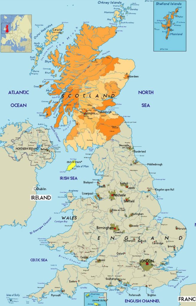
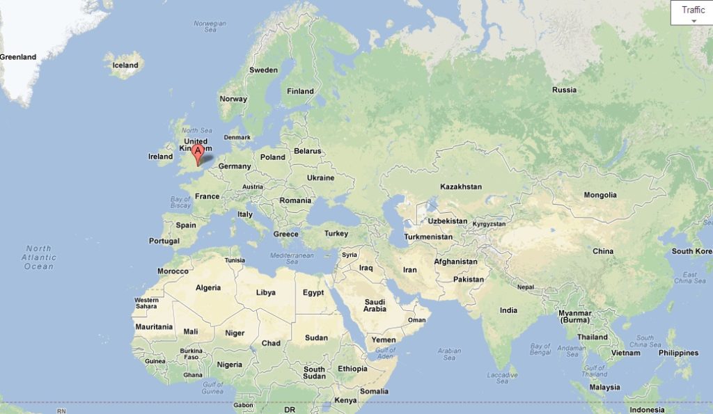
Map of Location of Scotland in the United Kingdom
Click on the map and print on a color Printer
Map of Administrative Divisions of Scotland
This map shows the administrative divisions of Scotland. On the south, you see England.
Click on the map and print on a color Printer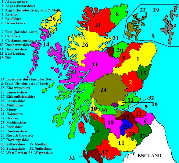
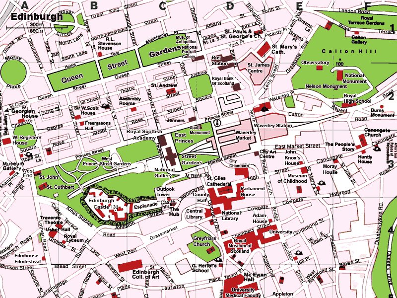
Map of Edinburgh City Streets
Click to see a bigger map of Edinburgh main streets
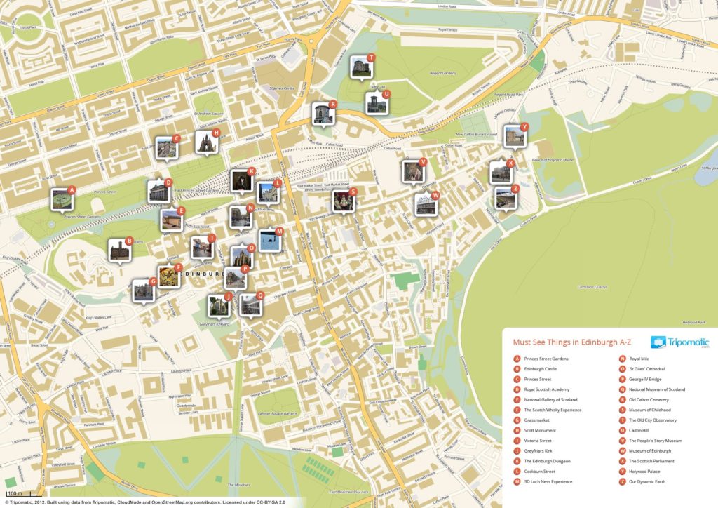
Edinburgh Tourist Attractions Map
This is a big map over 2000 pixels which shows all major tourist attractions in Edinburg.
Click on the map to see a big map of Edinburgh tourist attractions
Inverness Scotland Tourist Attractions Map
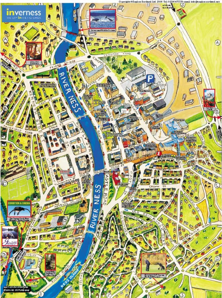
Click to see a Big map of Inverness
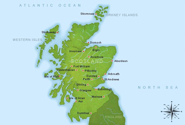
Scotland Major Places to See on Map
Click to see a Big map of Scotland Places to see
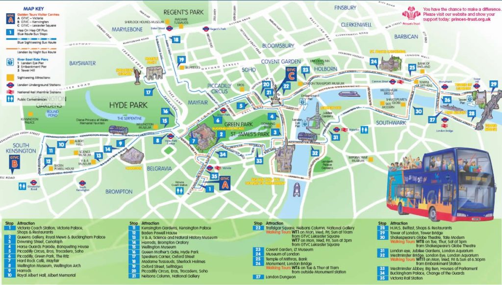
Best Tourist Map of Edinburgh
This is one of the best tourist attractions map of Edinburgh. You can click it to see a big size map and then print and take with you.
Click to see a Big map of Edinburgh Places to see
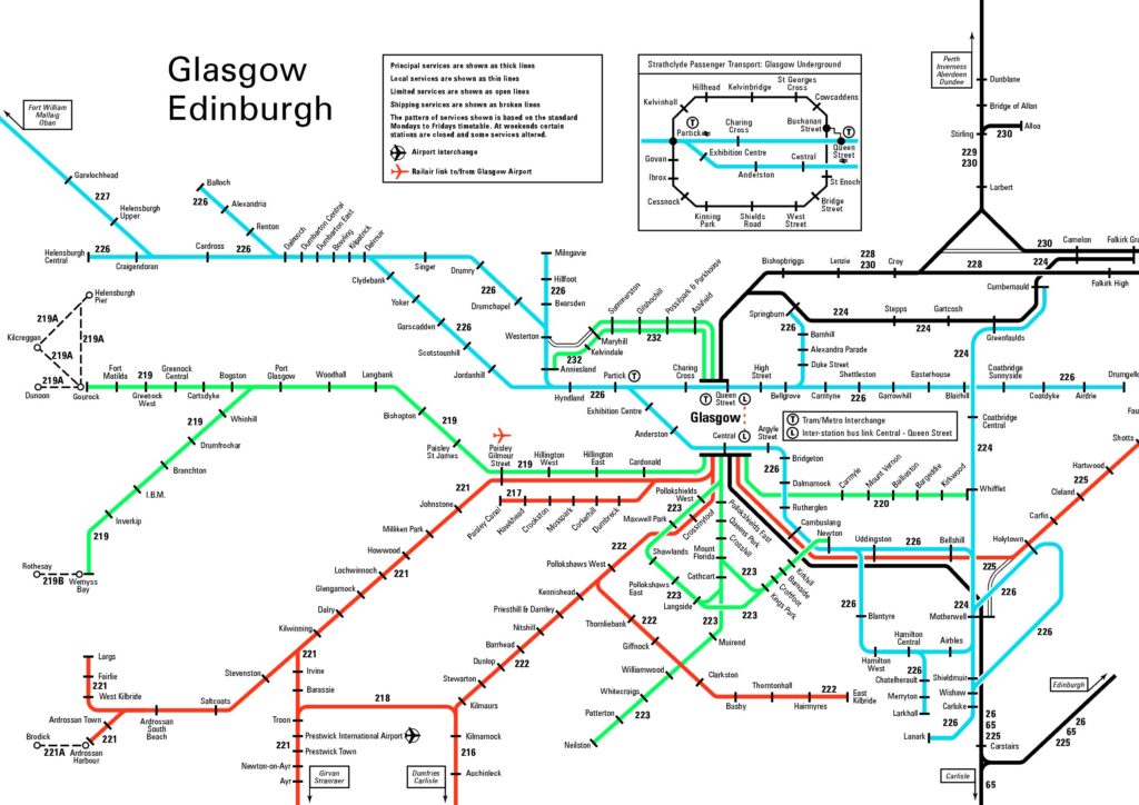
Map of Glasgow Metro Rail
Click to see a Big map of Metro in Glasgow
Glasgow Tourist Map
This is a big size tourist map of Glasgow which you can print and take with you.
More Info On- Map of United Kingdom Airports, Maps of England and its counties, Useful maps of Wales